|
When
do we go to Mars?
 You may want to go and see what has been done on the quest for Mars so far.
At the following JPL web site you can read about the Past, Present, and Future missions to Mars.
http://mars.jpl.nasa.gov/missions/
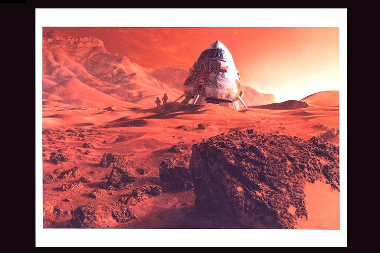
In the picture to the left you see some astronauts. Just a painting. We have yet to make that a reality. Maybe you
will change that.
Original artwork by Paul Hudson; July 12, 1990. Image Number: AC90-0405-4.
Courtesy of NASA Ames Imaging Library Server.
Harvesting Mars |
MARIE: The Martian Radiation Environment Experiment
Led by NASA's Johnson Space Center, this science investigation
is designed to characterize aspects of the radiation environment
both on the way to Mars and in the Martian orbit.
 Since space radiation
presents an extreme hazard to crews of interplanetary missions, the
experiment will attempt to predict anticipated radiation doses that
would be experienced by future astronauts and help determine possible
effects of Martian radiation on human beings.
Space radiation comes from cosmic rays emitted by our local star, the sun, and from stars beyond our solar system as well.
Space radiation can trigger cancer and cause damage to the central
nervous system.
MARIE Specs
|
Los Alamos releases new maps of Mars water:http://www.lanl.gov/worldview/news/releases/archive/03-101.shtml
Contact: Nancy Ambrosiano, nwa@lanl.gov, (505) 667-0471 (03-101)
Contact: Jim Danneskiold, jdanneskiold@lanl.gov, (505) 667-1640
"LOS ALAMOS, N.M., July 24, 2003 -- 'Breathtaking' new maps
of likely sites of water on Mars showcase their association with
geologic features such as Vallis Marineris, the largest canyon
in the solar system.
The maps detail the distribution of water-equivalent hydrogen
as revealed by Los Alamos National Laboratory-developed instruments
aboard NASA's Mars Odyssey spacecraft. In an upcoming talk at
the Sixth International Conference on Mars at the California Institute
of Technology, in Pasadena, Los Alamos space scientist Bill Feldman
and coworkers will offer current estimates of the total amount
of water stored near the Martian surface. His presentation will
be at 1:20 p.m., Friday, July 25.
For more than a year, Los Alamos' neutron spectrometer has been
carefully mapping the hydrogen content of the planet's surface
by measuring changes in neutrons given off by soil, an indicator
of hydrogen likely in the form of water-ice. The new color maps
are available at http://www.lanl.gov/worldview/news/photos/mars.shtml
online.
'The new pictures are just breathtaking, the water-equivalent
hydrogen follows the geographic features beautifully,' said Feldman.
'There's a lane of hydrogen-rich material following the western
slopes of the biggest volcanoes in the solar system, a maximum
reading sits right on Elysium mons, and another maximum is in
the deepest canyon in the solar system.'"
snip
|